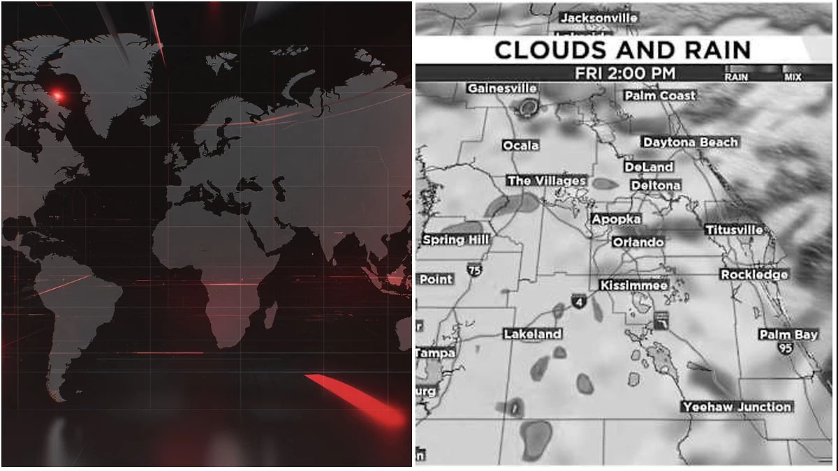


Storms become more scattered Friday afternoon.
ORLANDO, Fla. – Central Florida’s rain chances will ease slightly heading into the end of the workweek and the start of the weekend. The mid-level low that has been helping fuel the sea breeze is shifting farther west, opening the door for a bit of drier air to move into the region. That won’t completely shut down the typical afternoon storms, but it should limit how widespread they become compared with Thursday.
Friday
Friday morning should start mainly dry across the Orlando area and much of Central Florida, making for a quieter commute. By around midday, showers and thunderstorms are expected to bubble up, generally moving from the southwest toward the northeast. Storms will become more scattered through the mid-afternoon, with a few lingering downpours possible during the evening drive. Most of the rain should wind down by about 8 p.m. Afternoon highs will climb into the mid-90s, while heat index values will sit just above 100 degrees.
This Weekend
The drier air will remain in place as the weekend begins, keeping Saturday’s rain chances close to what is typical for this time of year. Scattered afternoon thunderstorms are expected to develop across Central Florida, following a setup similar to Friday. By Sunday, storm coverage should increase a bit as more moisture returns to the atmosphere, giving the sea breeze extra fuel. Highs both days will reach the mid-90s, with feels-like temperatures topping 100 degrees.