
Share this @internewscast.com
SAVANNAH, Ga. — On Thursday afternoon, Savannah basked under sunny skies with temperatures hovering comfortably between the upper 70s and lower 80s, typical for this time of year.
This pleasant weather pattern is expected to persist for a few more days, with changes anticipated by Sunday.

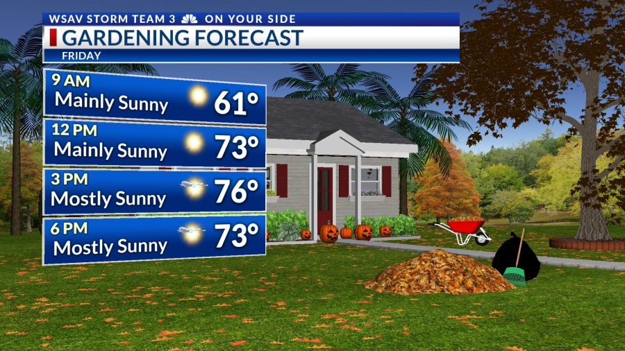
As Friday dawns, residents can expect mostly clear skies, accompanied by crisp and chilly morning temperatures. Most areas will see lows ranging from the lower to mid-50s, though some outlying regions might experience temperatures dipping into the upper 40s.
By afternoon, temperatures will climb to a delightful range between the mid-70s and lower 80s, with low humidity making the day feel particularly comfortable.
Saturday’s forecast mirrors Friday’s, offering another cool start with a warm afternoon. While a few clouds are expected to drift in as the day progresses, the weather will remain dry.
However, a weather system developing in the central part of the country is poised to make its way toward the area by Sunday. There is a slight possibility of showers arriving late Sunday, potentially continuing into the early hours of Monday.
Most of the Coastal Empire and Lowcountry will remain dry.
Next week looks to be quiet again weatherwise. Temperatures Sunday through next Wednesday will be in the upper 70s to lower 80s.


TRACKING THE TROPICS
The National Hurricane Center is now monitoring a tropical wave in the central Atlantic for potential tropical development over the next week or so. It is currently located about 1,000 miles southwest of the Cape Verde Islands.
It is moving westward toward the Caribbean Sea where the environment will become more favorable for further development.
The chance of development right now is low (10%) over the next two days. Development chances remain low over the next 5-7 days but increases to 30%.
While this is a system worth keeping an eye on, there is no threat to the U.S. at this time.
A second area of low pressure is being monitored for development that is located just south of Nova Scotia. It has a low chance of becoming a tropical depression or tropical storm.
Regardless of development, this system poses no threat to the U.S.