
Share this @internewscast.com
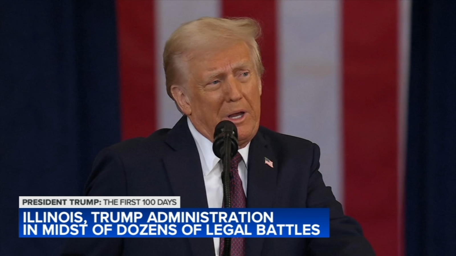
CHICAGO (WLS) — There are well over 100 lawsuits that have been filed against the Trump Administration, and the Illinois attorney general is involved in a number of them.
But one, filed by a Chicago trade school, exemplifies the fight over diversity, equity and inclusion and the federal funding that supports it.
ABC7 Chicago is now streaming 24/7. Click here to watch
On the Near Southwest Side, in an old warehouse, Chicago Women in Trades offers a spark of hope to women who want to get into good-paying construction jobs.
“So this organization is about women’s economic equity. Today, women still make about $0.80 for every dollar earned by a man, and part of the reason for that is their exclusion from high-wage blue-collar jobs in industries like the construction trades,” said Jayne Vellinga, executive director of Chicago Women in Trades.
The Trump administration’s efforts to get rid of diversity, equity and inclusion programs on the grounds he wants hiring decisions to be based on merit, forced the nonprofit to sue. At stake are federal grants which provide nearly 40% of the group’s operating income.
“The reality that we live in is that women have to be more, not less, qualified than men to compete for the same positions,” Vellinga said.
Illinois Attorney General Kwame Raoul’s office has filed more than a dozen lawsuits or other legal actions against the Trump administration. Some are quite personal to him.
“If you start with birthright citizenship. I was born to Haitian immigrants. My mother was not yet a naturalized citizen at the time of my birth,” Raoul said.
The attorney general, who’s a prostate cancer survivor, has also sued over funding cuts for medical research.
Along with attorneys general from other Democrat-led states, he’s also challenged executive orders.
They include ones that would restrict voting access or strip away the temporary protective status granted to Venezuelans.
“The common thread through most of these lawsuits is that there were unconstitutional actions or unlawful actions taken. It’s not the notion that I just simply disagree with the president’s ideology,” Raoul said.
ABC7 legal analyst Gil Soffer said the number of lawsuits is unprecedented, but not surprising.
“The executive orders that we’ve seen and other executive actions touch every corner of American life, and they’re controversial issues. They’re hot button issues, and, of course, that will generate lawsuits. And that’s exactly what we’re seeing,” Soffer said.
The Trump administration has also sued Illinois and Chicago over sanctuary laws that prevent local law enforcement from cooperating with U.S. Immigration and Customs Enforcement on certain immigration enforcement matters. They come with the threat of withholding billions in federal funding.
Chicago is also taking the Trump administration to court.
The city on Tuesday joined a national coalition to stop, what it calls, an illegal overhaul of the federal government.
Mayor Brandon Johnson says mass layoffs and agency cuts are hurting services the city depends on: from disaster relief to public health.
The lawsuit argues President Trump can’t make these sweeping changes without Congress.
But, the Trump administration says it’s tackling wasteful government spending.
All these lawsuits in President Donald Trump’s first 100 days are seen as just the beginning of a contentious presidency. Many of the court actions could drag on for the rest of his term in office.
Copyright © 2025 WLS-TV. All Rights Reserved.