
Share this @internewscast.com
Millions of residents along the East Coast of the United States are preparing for a severe blizzard expected to blanket cities and disrupt major transportation networks with over two feet of snow.
The National Weather Service (NWS) has issued warnings about the powerful Nor’easter, predicting blizzard conditions and “impossible travel” along the I-95 corridor, stretching from Baltimore to Boston.
Approximately 54 million people are in the storm’s path, which could unleash up to 26 inches of snow and produce wind gusts reaching 70 mph.
Initially, some areas may experience rain on Sunday morning before the weather intensifies into heavy snowfall accompanied by strong winds, potentially leading to whiteout conditions overnight into Monday.
Meteorologists highlight the rarity of such weather events, predicting that it will be remembered for decades due to its substantial impact.
This blizzard is poised to redefine storm expectations, as the Nor’easter is expected to evolve into a bomb cyclone, rapidly intensifying and potentially causing historic effects.
‘Blizzard conditions will quickly materialize from the Eastern Shore of Maryland through southeastern New England, making travel extremely treacherous in these areas,’ NWS said.
‘This isn’t your average “couple inches and slush by noon” event. This has the makings of the storms we study for years. The kind that rewrite seasonal totals, shut the city down, and get talked about decades later,’ storm chaser Nicholas Isabella wrote on X.

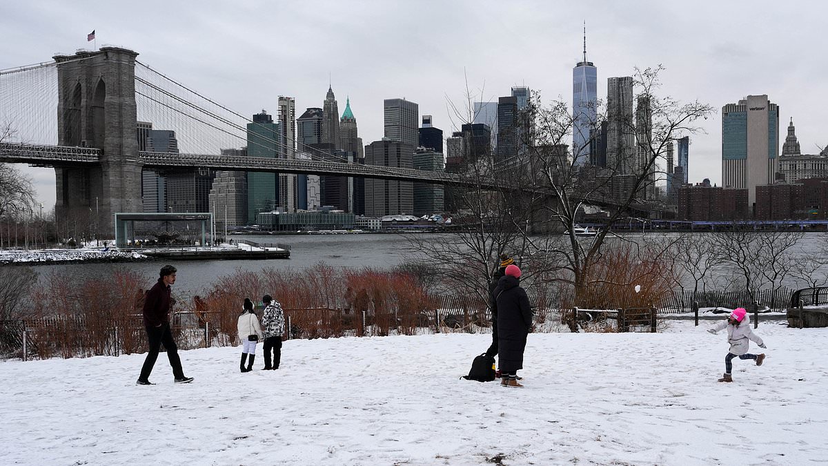
The catastrophic blizzard – New York City’s first in nearly a decade – will batter the city later on Sunday

Nearly 54 million Americans are bracing for impact from an intense blizzard that is set to blanket major cities in up to two feet of snow (pictured: snow preparation on New York City)

A Blizzard Warning is in effect for New York City from 1pm Sunday afternoon through 6pm Monday
Over 7,000 flights have been disrupted due to the storm, with 6,578 cancelations and nearly 900 delayed so far through Tuesday, with New York City’s airports most impacted, according to FlightAware.
The Big Apple is preparing for its first blizzard since 2017. A warning will be in effect for the city from noon on Sunday to 6pm on Monday.
New York Governor Kathy Hochul declared a state of emergency for the Big Apple, Long Island and portions of the Hudson Valley.
In the city, where the heaviest snowfall is expected, accumulations could begin from 7pm Sunday and last to noon Monday, per the National Weather Service.
Mayor Zohran Mamdani warned New Yorkers to stay off the roads unless it was ‘absolutely necessary.’
‘If you can stay home, stay home,’ he wrote.
The city will deploy 2,200 snow plows, hundreds of shovelers and employees to combat snow accumulation.
New Jersey Governor Mikie Sherrill declared a state of emergency starting noon Sunday ahead of what she called a ‘severe’ storm.
For the first time on record, all 21 counties in New Jersey are simultaneously under a blizzard warning, according to MyRadar Weather meteorologist Matthew Cappucci.


Forecasters warned that the ‘potent’ Nor’easter will cause blizzard conditions and ‘impossible travel’ along the I-95 corridor from Baltimore to Boston

New York City will deploy 2,200 snow plows, hundreds of shovelers and employees to combat snow accumulation


Mayor Mamdani stands in front of a perilous mound of snow from the city’s last storm
The weather service warned that the storm could cause whiteout conditions that ‘will make travel treacherous and potentially life-threatening.
‘The strong winds and weight of snow on tree limbs may down power lines and could cause sporadic power outages.’
AccuWeather Meteorologist Alex Duffus said, ‘The clinging nature of the snow and high winds will put a strain on trees and power lines, with extensive power outages anticipated.’
Some of the heaviest snow is projected to fall overnight Sunday, with as much as two inches per hour at times in some areas, before tapering off by Monday afternoon.
The rapid intensification of the storm could reach ‘unheard of’ levels and may even cause it to look like a hurricane on satellite, according to meteorologist Brady Harris.
‘That kind of strengthening is almost unheard of. At peak intensity, this storm may even look like a hurricane on satellite, with a tight core and powerful wind field wrapping around it,’ he wrote on X.
‘This level of intensification is exactly why impacts could become so extreme.’