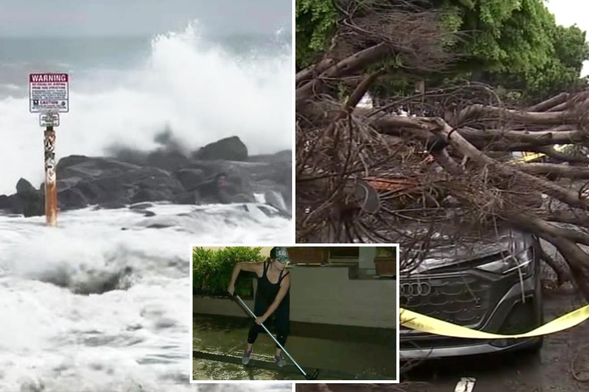

Hurricane Marie delivered a dramatic start to Labor Day weekend across Southern California, sending powerful surf into the coastline, triggering thunderstorm-related beach closures, bringing heavy rain that knocked a tree onto vehicles and leaving thousands of customers without power for a time.
Although the hurricane stayed far out over the Pacific, its impacts reached well inland Sunday as tropical moisture spread into Los Angeles and Ventura counties.
The rare September system soaked streets that are typically dry this time of year while hazardous swells pounded beaches from Malibu down to Orange County.
In Newport Beach, the rough ocean conditions led to a frightening moment when a surfer was swept across a jetty and thrown onto jagged rocks near 56th Street, KTLA5 reported.
Video obtained by the station showed waves carrying the surfer over the rocky jetty as bystanders looked on from nearby.
The surfer appeared to regain footing for a moment, but another surge of waves slammed over the rocks, prompting a lifeguard to race toward the water.
Newport Beach lifeguards said the surfer was not injured, while warning visitors to remain alert and take the dangerous currents seriously.
The close call unfolded as Marie pushed 5- to 10-foot waves along stretches of the Southern California coast.
The National Weather Service warned that rock jetties could become particularly dangerous during the elevated surf and advised people to stay out of the water or remain close to occupied lifeguard towers.
Farther north, Malibu beaches were temporarily shut down Sunday afternoon after lightning moved into the area, according to KTLA5.
The closures came after large crowds of surfers had turned out to take advantage of the unusually powerful waves.
The National Weather Service had forecast a chance of thunderstorms across Los Angeles and Ventura counties as Marie’s moisture pushed inland.
The storm was also creating problems away from the shoreline.
In Los Feliz, a large tree came crashing down onto two vehicles near Vermont Avenue and Melbourne Avenue around 4 p.m. Sunday, ABC7 reported.
Images from the scene showed the tree sprawled across the street and covering two cars, with the hood and windshield of one vehicle badly crushed.
Police and firefighters responded, while one person was transported to a hospital in fair condition. The fallen tree and debris blocked much of Vermont Avenue as crews worked to clear the roadway.
In Glendale, meanwhile, the storm temporarily knocked out electricity for more than 4,000 customers as rain swept through the area. Two outages were recorded shortly after 5:15 p.m., with one affecting thousands of customers.
Power was gradually restored throughout the evening, leaving only a small number of customers without electricity by around 8:30 p.m., according to Glendale Power and Water website.
The rain itself was an unusual sight for Southern California in early September.
Downtown Los Angeles received more than a half-inch of rain, while much of Los Angeles County recorded between roughly 0.10 and 0.33 inches Sunday morning, with some areas exceeding half an inch, according to the National Weather Service.
Coastal flooding added to the holiday-weekend chaos, with seawater inundating parking areas near the Seal Beach Pier.
But the soggy conditions are not expected to stick around.
The National Weather Service has issued coastal flood, high surf and small craft advisories, along with a beach hazards statement, for parts of Southern California through Tuesday.
Marie is expected to weaken steadily and become a post-tropical remnant low by Wednesday, according to the National Hurricane Center.
However, its swells are expected to continue affecting Southern California for several days, meaning dangerous surf and rip currents could remain a threat even as the skies clear.
Then comes the heat.
As Marie’s moisture pulls away, Southern California is expected to rapidly transition from rain and cooler temperatures to warmer and drier conditions beginning Monday.
Temperatures are forecast to climb above normal by midweek, with inland areas likely to feel the most intense heat.


