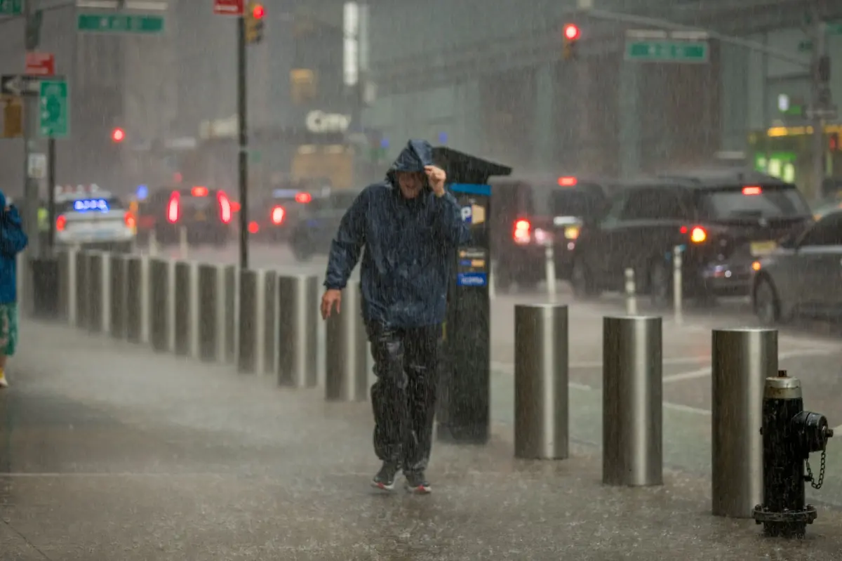

An unsettled severe weather pattern will persist Sunday, placing more than 40 million people across the Mid-Atlantic and the Carolinas under threat. If thunderstorms strengthen, damaging wind gusts are expected to be the main concern, though isolated flash flooding may pose an even greater danger in some communities.
The threat comes after a turbulent Saturday that opened the weekend with a range of hazardous weather impacts up and down the East Coast. One upside: the storms are helping to disrupt the recent stretch of heat and smoky air.
Across the Northeast and Mid-Atlantic on Saturday, storms brought flooding downpours, wind gusts topping 70 mph and a handful of tornado reports.
In New Jersey, Gov. Mikie Sherrill urged residents to adjust weekend travel plans as the storms approached.
As the weather system pushed into the area, a Flash Flood Warning was issued for all five boroughs of New York City through Saturday afternoon.
Officials cautioned that streets, basements and subway areas could quickly take on water, with rainfall rates of 2 to 3 inches per hour possible into the evening.
Flash flooding was reported across the region, submerging parts of several major interstates. Multiple high-water rescues were also reported, including incidents in Queens where motorists became trapped.
READ MORE: Mom Kills Man Found Hiding Under Daughter’s Bed, Police Say
Beyond the flooding, powerful wind gusts were recorded in a number of locations.
At the height of the storms, roughly 240,000 customers lost power, with Virginia leading the country at just over 64,000 outages.
On Sunday, severe storms will continue to march south across portions of the Mid-Atlantic and Carolinas just ahead of a cold front.
A level 2 out of 5 severe threat will shift to include more of eastern North Carolina and Virginia, including Raleigh, Norfolk and Greensboro.

Damaging wind gusts will be the main threat with any severe storm that develops. However, the FOX Forecast Center warns that localized flash flooding could pose an even greater risk, as models indicate the front may stall over the region and allow rainfall totals to stack up.
Storms will move across the same areas, thus allowing flash flooding to occur.
Rain totals could approach up to 3 inches in some locations. However, 1 to inches looks to be likely, the FOX Forecast Center said.
Additionally, severe storms will continue through Monday, where a level 1 out of 5 severe threat will still be in place for most of eastern North Carolina.