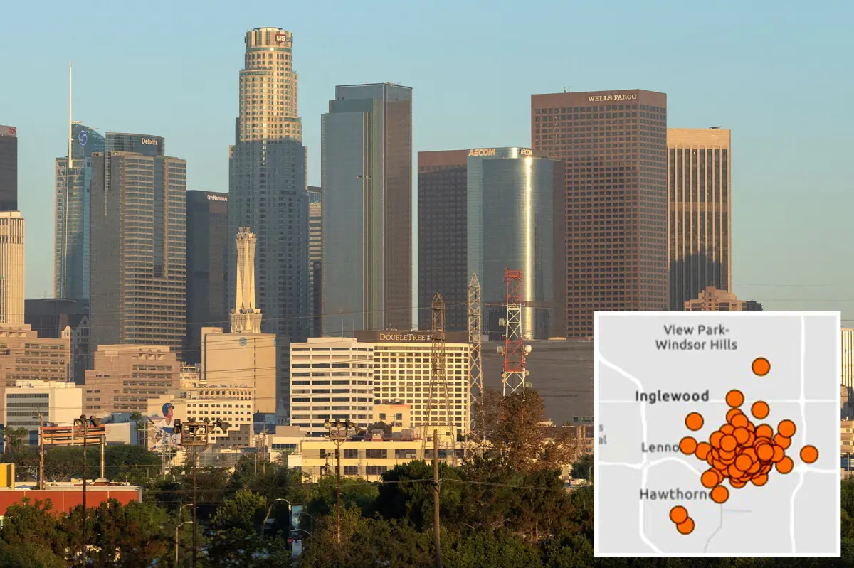
Southern California experienced a wave of earthquakes Saturday, with the largest concentration reported across South Los Angeles.
The activity included a magnitude 2.7 earthquake near Westmont at approximately 2:30 a.m., followed by a magnitude 2.6 tremor in the same vicinity around 4:30 p.m., according to the U.S. Geological Survey.
More than 60 earthquakes were recorded in the area overall, although many registered below magnitude 2.0.

Two additional quakes struck southeast of Catalina Island within minutes of one another shortly before 4:15 a.m.
The burst of seismic activity followed a magnitude 3.4 earthquake in the Bay Area early Saturday and came less than a week after a magnitude 3.2 tremor shook South Los Angeles.
The latest earthquakes come as a new study has renewed attention on California’s San Andreas Fault. Experts have warned that the state’s potentially catastrophic “Big One” could happen sooner than earlier estimates suggested.
Caltech seismologist Dr. Lucy Jones has cautioned that such an event would be much more than a short-lived jolt. Modeling indicates a major rupture could cause widespread and devastating consequences across California.
At the same time, researchers at the University of California, Riverside say they have created a method for identifying areas where some of the planet’s most powerful earthquakes are more likely to occur.
Their approach tracks where pressure is accumulating along major fault systems, potentially helping scientists determine which locations face a heightened risk of a large earthquake.
The research centers on subduction zones, geological regions where one tectonic plate is forced beneath another.
Those fault environments are responsible for many of the world’s strongest earthquakes, including events measuring magnitude 8.5 or higher.