
NEW YORK — Manhattan’s famous skyline is not the only thing that has expanded over time. The island itself has also grown wider in places over the decades.
Some of New York City’s earliest maps — many of which remain valuable tools for researchers today — capture that transformation in remarkable detail.
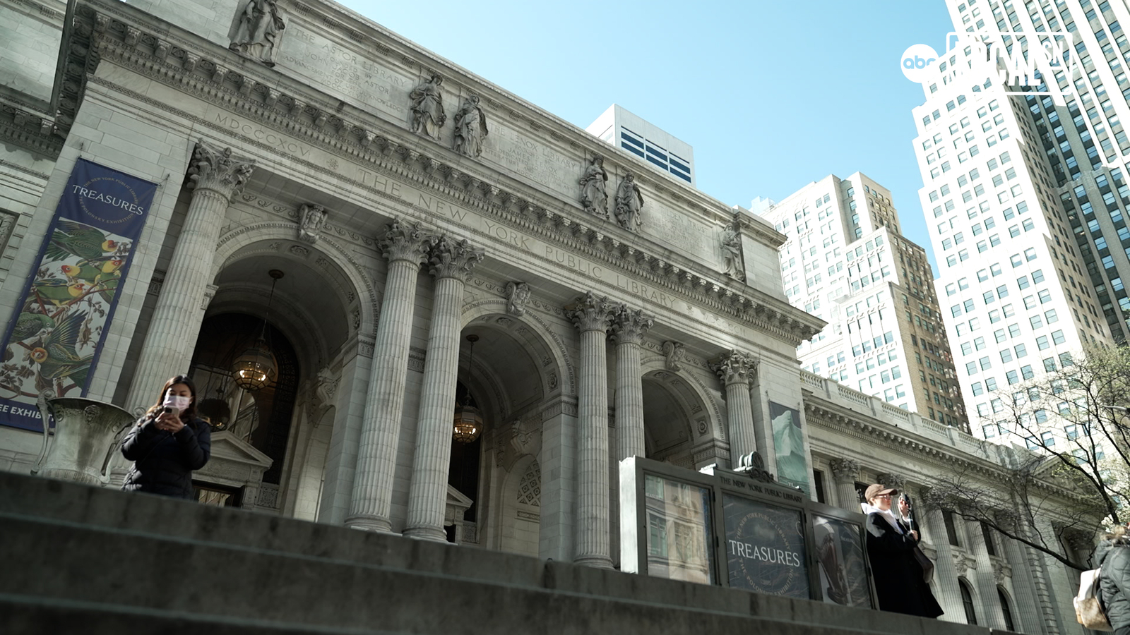
The New York Public Library is home to an extensive map collection, with more than 400,000 items in its holdings.
“For maps of New York City, we are second to none,” said Ian Fowler, the library’s curator of maps, history and government information.
Together, the maps offer a visual record of how the city has evolved — and clues about where it may be headed next.
“What was there before and what can that tell us about where we could go in the future,” Fowler said. “A lot of these maps can unlock those questions.”
Among the collection’s treasures is the Castello Plan, one of the oldest known maps of Dutch-controlled New Amsterdam from the 1600s, as well as British-produced maps dating to the 1760s.
The documents also reveal how quickly the city’s identity shifted after British rule, with street names changing from royal references to American ones. “King” Street, for instance, became “Pine” Street.
MORE STORY: Phil Mickelson Photo That Allegedly Shocked Fellow Golf Star’s Wife: The Story Behind the Viral Reaction
Other historic maps show what the island used to look like before development, full of hills and streams.
The maps are still used by scientists and developers today.
They also show how thin the island used to be before the coastlines were built out.
“While we were building out the island, especially after the Revolution, we took a lot of that rubble and a lot of oyster shells and put that in the East River and Hudson River and then the tip of Manhattan, and then we built it out,” said Fowler.
And what’s on the maps from so long ago is just as important as what is not on them.
“What’s interesting is the depiction of the lands and the depiction of the native people,” said Fowler. “The French portray them more prevalently while still from a colonial lens, while the British were more aggressive in their mapping, they delete more native peoples and more native places.”
“I think 250 years from now, I think it’ll be such a different city that these will look even more antiquated than they do now,” said Fowler.
Some of the maps will be part of a special three-part exhibit opening at the New York Public Library on June 15 called Declaring America: 1776 and Beyond.
The exhibits will be on display at the Stephen A. Schwarzman Building on 42nd Street.