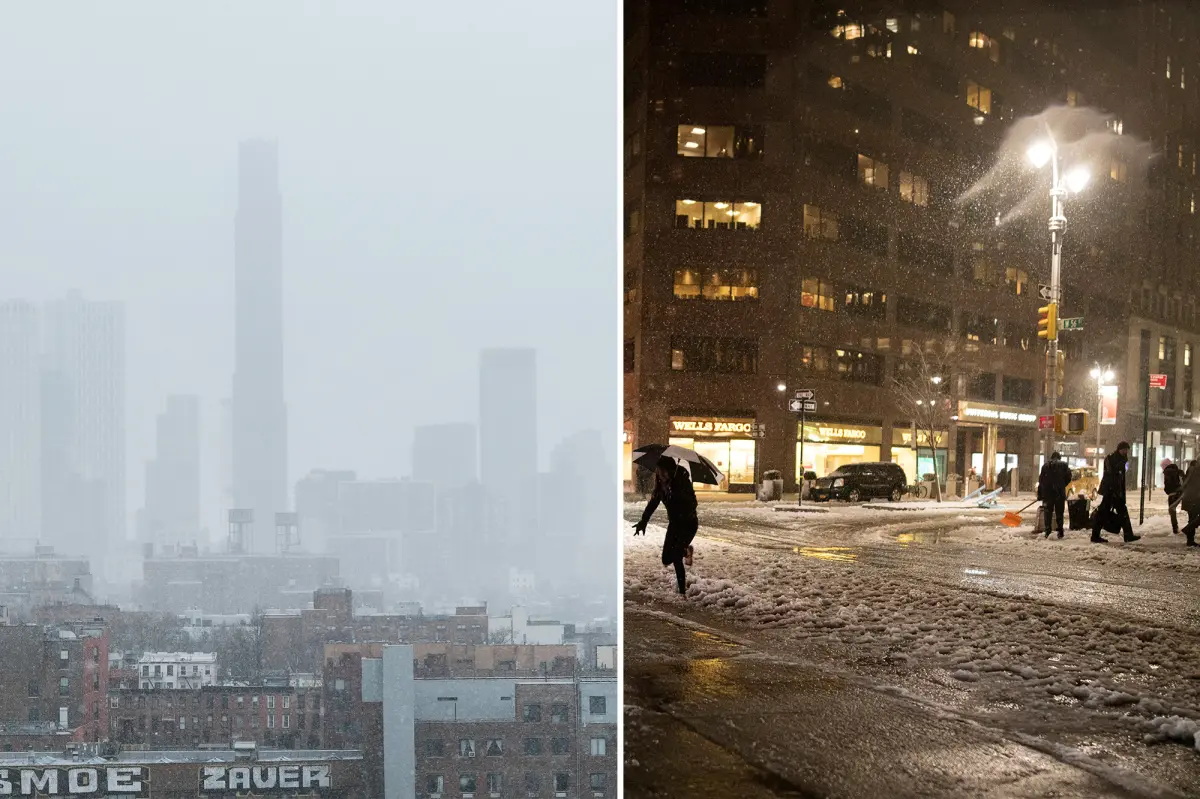
A rare, exceptionally strong Super El Niño is taking shape this season, raising the odds that the Northeast could see a milder fall and winter with limited snowfall.
The potentially disruptive climate pattern is an intensified form of a standard El Niño, which occurs when waters and air patterns across the Pacific become unusually warm, setting off ripple effects in weather around the globe.
For the Northeast, the developing El Niño is expected to push temperatures above normal in the months ahead, while rain and other precipitation may start out below typical levels, AccuWeather Senior Meteorologist Carl Erickson said.
“Warmth may linger through September, brief shots of cooler air should arrive in October,” Erickson told The Post on Sunday.
“El Niño is expected to play a greater role in the overall weather pattern by late fall and winter.
“Some snow is possible by late October or November if a storm happens to coincide with enough cold air. But it is too early to predict any specific event,” he said.
As winter takes hold, the pattern could shift again. Some long-range forecasts suggest conditions may remain relatively warm but become wetter, since El Niño events can increase precipitation along the Atlantic Coast during the winter months.
New York currently has about a 50% to 60% chance of above-average precipitation from December through February, while the likelihood of above-normal temperatures during that same stretch stands at roughly 40% to 50%, according to CNN Weather.
MORE STORY: Bill Maher Admits He Was Wrong About Trump in Stunning U-Turn
That means snow-loving New Yorkers may have their hopes dashed — and have to settle for a winter of rain and sleet instead of drifts of white stuff.
All of that is all the more likely to occur if the weather pattern becomes a Super El Nino, an extremely strong manifestation of the phenomenon, which would likely come to fruition by October.

El Ninos themselves are not unique phenomena — they happen every few years when temperatures across the Pacific equatorial region surge above average.
Those regions of warm air spark chain reactions which shift jet streams and seasonal weather expectations across the globe.
In the US, that typically means the Southeast experiences wetter and colder winters with more storms, while swaths of the Midwest becoming dryer and northern states see warmer temperatures.
The East Coast tends to have less predictable weather, though higher rain and coastal storms flowing up from the South are often expected, according to the American Geosciences Institute.
This year’s El Nino is shaping up to be one of the strongest on record — with there currently about a 70% chance of it becoming a Super El Nino.
New York City has already been swimming its way through a particularly wet August, with more than 8 inches of raining falling so far and making it the wettest August in five years.
The last time New York saw as much rain was in 2021 when more than 10 inches fell.