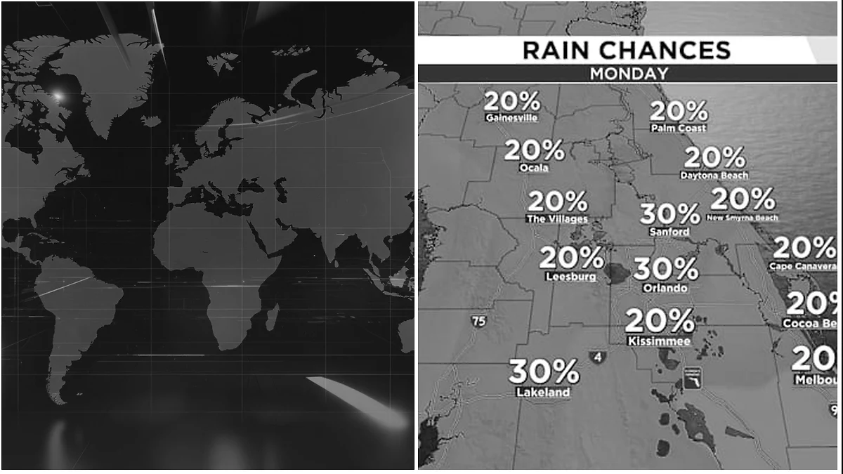


Isolated storms expected Monday before coverage increases by late-week.
ORLANDO, Fla. – Monday
Central Florida will start the week with limited moisture in the atmosphere as drier air lingers across the state. That setup will keep Monday’s rain chances on the lower side, with only isolated to spotty afternoon storms developing on westerly winds. A few showers may pop up shortly after lunchtime near the I-4 corridor and areas to the west, then gradually shift toward the I-95 corridor by the mid-to-late afternoon. Temperatures will climb into the mid-90s, while the heat index makes it feel closer to 100-105ºF.
Mid-Week
By midweek, a ridge of high pressure in the middle levels of the atmosphere will begin sliding west toward Florida. The state will stay along the edge of that ridge during the second half of the week, allowing it to draw moisture from the south and steer it into the region. As a result, rain chances will steadily rise late week and continue into the upcoming weekend. Afternoon highs will stay above average through Thursday, reaching the mid-90s, before increased storms and cloud cover Friday into the weekend help bring temperatures down into the low 90s.


