
ORLANDO, Fla. — Storm development was slow to get going Sunday afternoon, with most of the activity lining up along the I-95 corridor. Those scattered showers and thunderstorms are expected to linger into the early evening, mainly east of I-4 toward the coast, before fading out or moving offshore after 10 p.m. Overnight conditions should turn dry.
Monday is shaping up much the same way. The morning commute will be warm, humid, and dry, followed by a mix of sun and clouds through the first half of the day. That setup will allow temperatures to climb back into the mid-90s, with heat index values reaching around 100 degrees.
By mid-afternoon, scattered storms are expected to redevelop, again focusing mainly east of I-4. A strong westerly steering flow will push the greatest storm chances toward the I-95 corridor and the coastline through Monday afternoon.
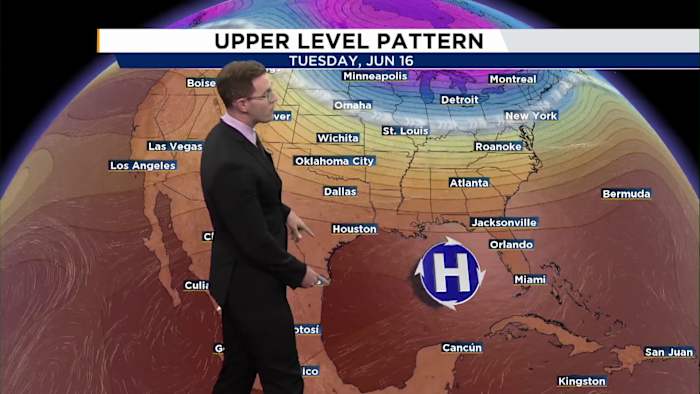
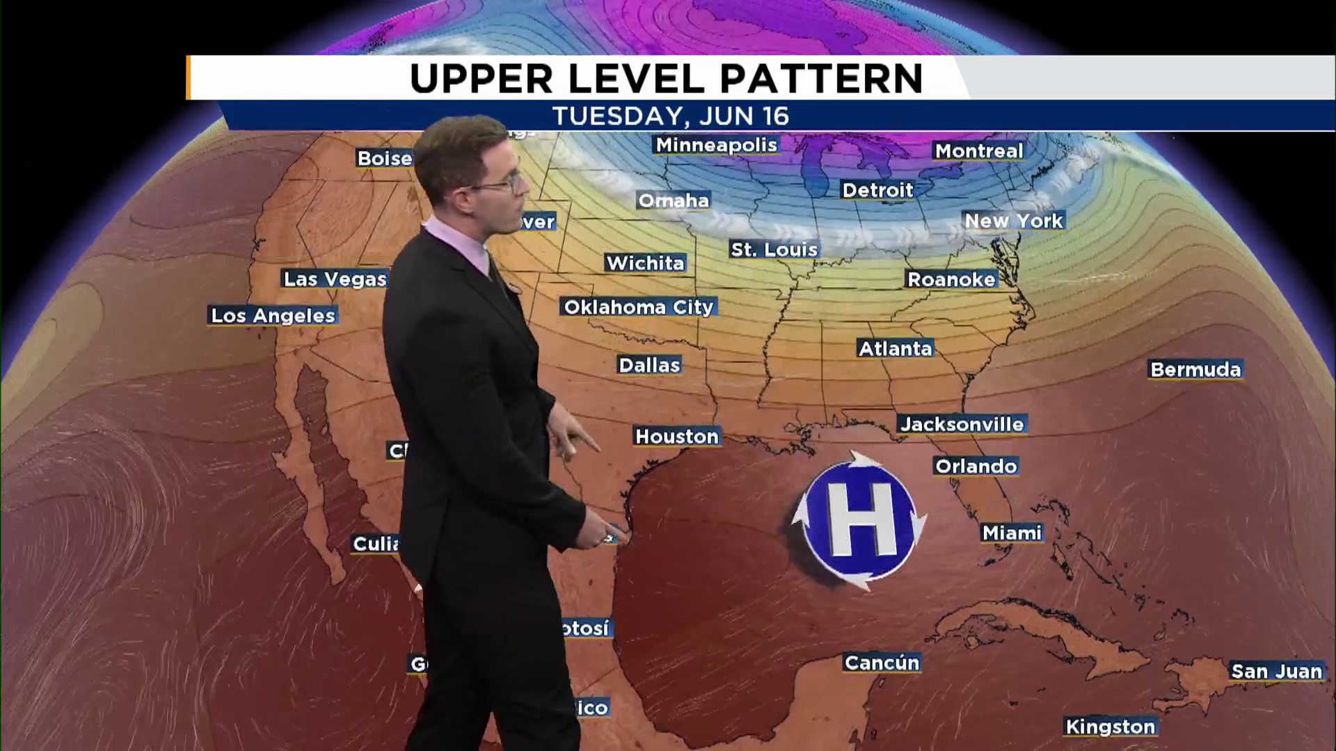
As the week goes on, the bigger story will shift from rain to heat. By midweek, an upper-level ridge of high pressure is expected to strengthen over Florida, reducing rain chances and helping skies dry out. With fewer storms around, temperatures will have more room to rise.


