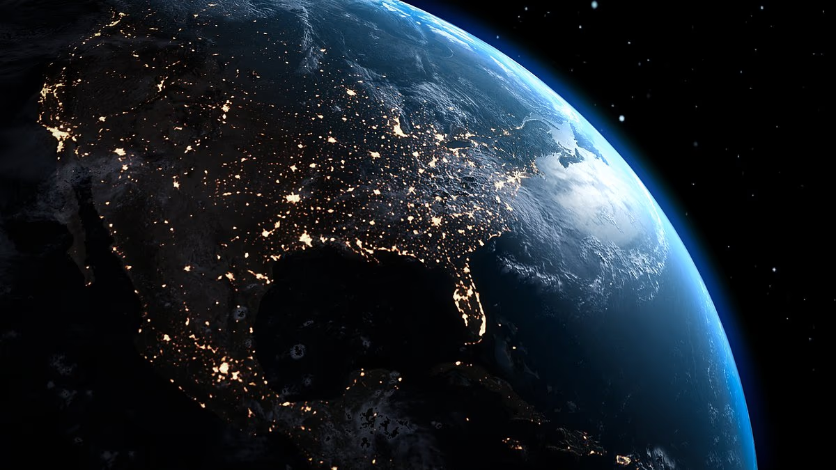

Most people learn that Earth has seven continents. But a controversial scientific theory suggests North America and Europe may actually be parts of one enormous landmass, despite the Atlantic Ocean lying between them.
The idea, advanced by Dr Jordan Phethean of the UK’s University of Derby, challenges the conventional view that North America and Europe are separate continents divided by the Atlantic.
Phethean said: ‘The discovery indicates that the North American and Eurasian tectonic plates have not yet actually broken apart, as is traditionally thought to have happened 52 million years ago.’
The standard model recognises seven continents: Africa, Antarctica, Asia, Australia, Europe, North America and South America.
Those continents were once joined in the supercontinent Pangea, which existed roughly 200 to 300 million years ago. Over time, heat within Earth drove the movement of tectonic plates, gradually pulling the landmasses apart.
Phethean’s controversial theory draws on two scientific studies suggesting that the landmasses, now about 3,000 miles apart, remain connected by an underwater ridge stretching from Greenland through Iceland to the Faroe Islands, near Scotland.
The North Atlantic bridge examined by Phethean’s team may contain remnants of the original continental crust. These fragments could have survived when North America and Europe began separating tens of millions of years ago.
The research identified sections of ocean floor that are considerably thicker than normal and remain joined by thinner continental material. Scientists involved in the work said the findings indicate that North America and Europe may never have completely separated.

Scientists have claimed that North America and Europe are part of the same continent, meaning there would only be six continents on Earth (Stock Image)

Researchers discovered continental crust in the Atlantic Ocean which points to North America and Europe being linked by an underwater ridge
In the two studies involving Phethean, researchers measured the thickness of crust beneath the seafloor with gravity data and seismic scans. They then created computer models to reconstruct how Earth’s tectonic plates moved millions of years ago.
The team compared those results with geological examples in which continents did fully separate, including Africa and South America.
The first study, published in the journal Geology in July 2024, found similarities between the actively stretching Central Afar region in East Africa and the thick crust beneath Iceland and the Greenland-Iceland-Faroe Ridge, known as the GIFR.
SEE ALSO: Southern California Brush Fire Threatens Million-Dollar Homes
The comparison was significant because both regions generated large volumes of volcanic magma during their early development. They also formed unusually thick crust and preserved small remnants of ancient continental crust within newer volcanic rock.
Based on these shared geological features, the researchers proposed that Central Afar could provide a modern example of how a distinctive, thick underwater plateau forms when continents fail to separate cleanly.
In September of the same year, a second study by Phethean, published in Gondwana Research, identified a submerged section of thick continental crust between Canada and Greenland that had never fully detached from Greenland.
Known as the Davis Strait proto-microcontinent, the North Atlantic rock formation is between 12 and 15 miles thick. That makes it substantially thicker than typical oceanic crust.
After analysing rock scans, the researchers modelled the historical movement of the surrounding tectonic plates. Their simulations suggested that the microcontinent began separating between 49 and 58 million years ago, but that the process ended before it formed a completely independent landmass.

The common belief is that there are seven continents: Africa, Antarctica, Asia, Australia, Europe, North America and South America

Scientists found an area of unusually thick crust on the sea floor between Greenland, Iceland and the Faroe Ridge near Scotland
‘It is controversial to suggest that the GIFR contains a large amount of continental crust within it, and that the European and North American tectonic plates have perhaps not yet officially broken up,’ Phethean told Earth.com.
A study in the journal Communications Earth & Environment challenged this theory, claiming it is misinterpreting the origins of the thick underwater rocks found between Canada and Europe.
An international team concluded that the thick, dense crust under Iceland was created by a volcanic hotspot deep inside the Earth that keeps pumping out extra molten rock while the seafloor slowly spreads apart.
Defining ‘continents’ has always involved a mix of geology, history and culture. Asia and Europe have been treated as separate even though they form one continuous landmass called Eurasia.
The studies by Phethean and his colleagues in the US and Europe did not address the theory that Eurasia should also be viewed as one continent.


