Share this @internewscast.com
An Antarctic blast carrying fierce wind gusts up to 128km/h has lashed south-eastern parts of the country.
Residents in South Australia, Victoria, Tasmania, and parts of NSW and the ACT experienced a chilly night as blizzard-like conditions delivered low-level snow and strong winds.
Rare tornadoes even hit Adelaide last night.
Experts say the cold front is expected to ease off from Saturday afternoon into Sunday.
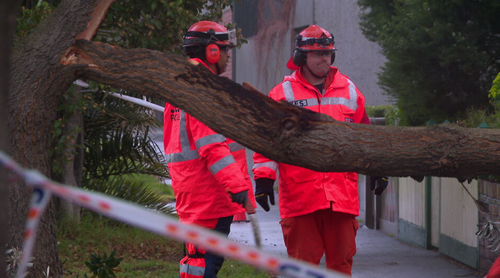
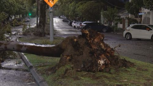
Hundreds of trees uprooted across Victoria
The SES has responded to 1300 calls for help in the last 24 hours as winds brought down trees across Victoria.
The South West Barwon region, including Warrnambool and Portland, copped the brunt of the winds.
SES assistant chief officer Mark Cattell said as many as 800 of those calls were for fallen trees.
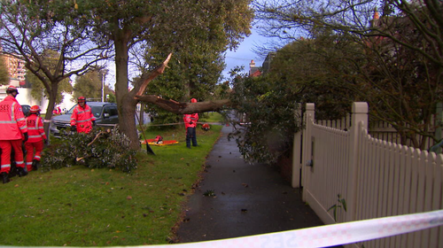
“We had several trees on cars, two very early yesterday afternoon with people in them. They were able to get out of the vehicles okay,” Cattell said.
“We also had a person trapped under a tree at one stage earlier in the day.”
That person was taken to hospital, Cattell said.
Mt Hotham recorded gusts as strong as 128km/h, Wilsons Promontory saw gusts of 117km/h, and Mount William experienced winds of up to 107km/h.
Weather warnings remain active for the north-east of the state and the Gippsland region as the cold front progresses across Victoria.
“As the front continues to move to the west it will abate somewhat,” Cattell said.
“The winds won’t be as high, but we still are expecting some high gusts, probably up to 60 to 70 km/h.”
Vehicles at Falls Creek were blanketed in snow after an overnight blizzard covered the ski resort in 24cm of fresh snow.
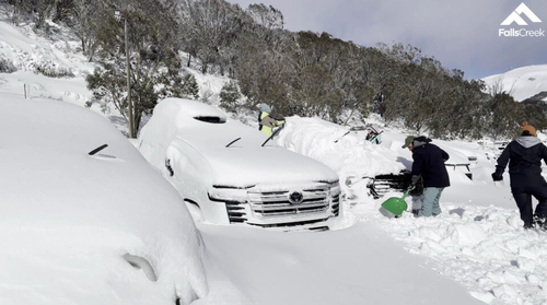
A strong southwesterly wind is bringing gusts of up to 60km/h this afternoon, but conditions are expected to stablise as the day goes on.
Ballarat locals were surprised by an unusual patch of snow fall after temperatures dipped below zero, while Albury Wodonga was pummelled by hail.
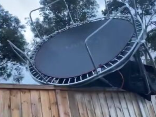
In Warrnambool, wind gusts reached 102km/h and Point Cook saw winds up to 91km/h.
Winds have eased through eastern Victoria, meaning a previous severe weather wanring in place for much of regional Victoria has been cancelled.
In southern Victoria, winds are expected to ease by the afternoon.
There is also a warning for blizzards in the Alpine Region.
Authorities are warning that if you don’t need to travel, stay off the roads.
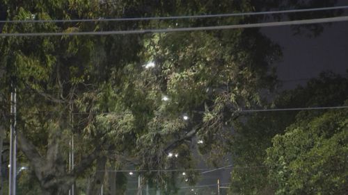
NSW authorities urge residents to shelter from strong winds
Parts of NSW have also been issued severe wind warnings, with strong gusts expected to lash a large part of the coast today.
The Illawarra region faced the strongest winds, with damaging gusts reaching 110km/h in the alpine areas and up to 90km/h in the central and southern ranges, as well as the Illawarra.
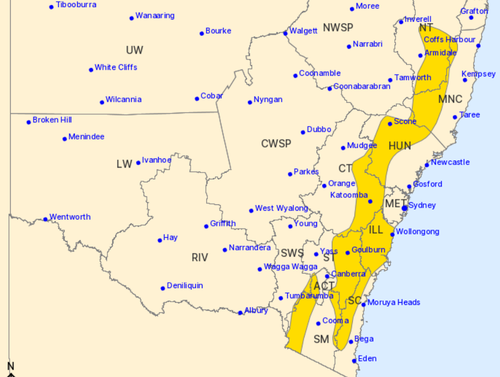
The SES is urging residents to move vehicles under cover or away from tree and stay at least eight metres away from fallen powerlines.
Wind gusts in Sydney’s CBD reached 70 km/h this morning.
A severe wind warning for the ACT has been cancelled after conditions eased.
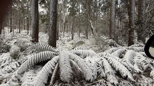
The Great Dividing Range was also coated in snow, where snow showers blanketed Barrington Tops National Park.
The winds won’t reach Queensland, with sunny weather in store for the day.
Cold front brings fast-moving tornadoes to suburban Adelaide
Residents in South Australia are recovering after two small tornadoes battered parts of Adelaide yesterday evening.

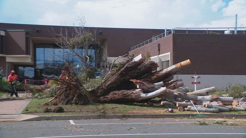
Roof tiles were blown off and cars were damaged as winds exceeded 130 km/h across Adelaide’s northern suburbs.
This unusual weather event was triggered by a strong cold front that brought hail to the southern suburbs, uprooted large trees, and caused power outages for thousands.


