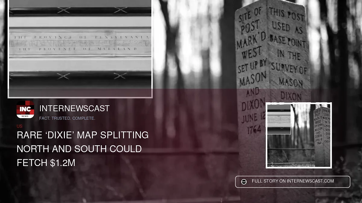

It may be one of the most consequential maps in American history—and soon, it could belong to a private collector.
A hand-drawn chart depicting the Mason-Dixon Line, later associated with the division between free and slave states, will be offered at auction Thursday during a livestreamed sale. The document has been remounted on Japanese rice paper for preservation.
“It’s not that often that you can really get this close to something that is so historically important,” said Lauren Brunk, vice president of Brunk Auctions in Asheville, North Carolina. “And it was awe-inspiring, really.”
Brunk expects the map to sell for between $800,000 and $1.2 million on behalf of its anonymous owner.
Charles Mason and Jeremiah Dixon originally surveyed the boundary to resolve a dispute between the colonies of Maryland and Pennsylvania.
Its historical meaning changed dramatically when the line was invoked in the 1820 Missouri Compromise to define the limits of slavery in the young United States. It later became a symbol of the sectional tensions that erupted into the Civil War four decades afterward.
“The Mason-Dixon Line that most Americans know is this dividing line between the northern free states and the southern slaveholding states,” Brunk said. “But the line was not drawn for that reason.”
MUST READ: Federal Officials Say 400 Noncitizens Are Registered to Vote in Washington State
One popular theory holds that the nickname “Dixie” originated with Dixon, although the term’s true source remains disputed.
Not long after the survey, the linen-backed paper—measuring 76 inches (193 centimeters) long and 6.5 inches (16.5 centimeters) high—was given to the family of attorney Benjamin Chew. Chew represented descendants of Pennsylvania founder William Penn.
The map stayed with the family until 1982, when the late publisher Malcolm S. Forbes outbid the Library of Congress and purchased it for $360,000, according to Brunk.
At the time, the sale was described as the highest price ever paid at auction for an American map.
The map was sold again in 2002. A vertical section depicting the Delaware-Maryland border is now held by Princeton University.
Brunk contacted the Library of Congress to let officials know the historic document was returning to the market and to ask whether they planned to bid.
“I wanted them to be aware that this was coming back to the market,” she said. “And they said, at this point, budgets being what they are, they were just not in a position to buy it.”
Still, Brunk said a patriotic buyer could acquire the map on the library’s behalf. “They’d be happy to have it,” she said.


