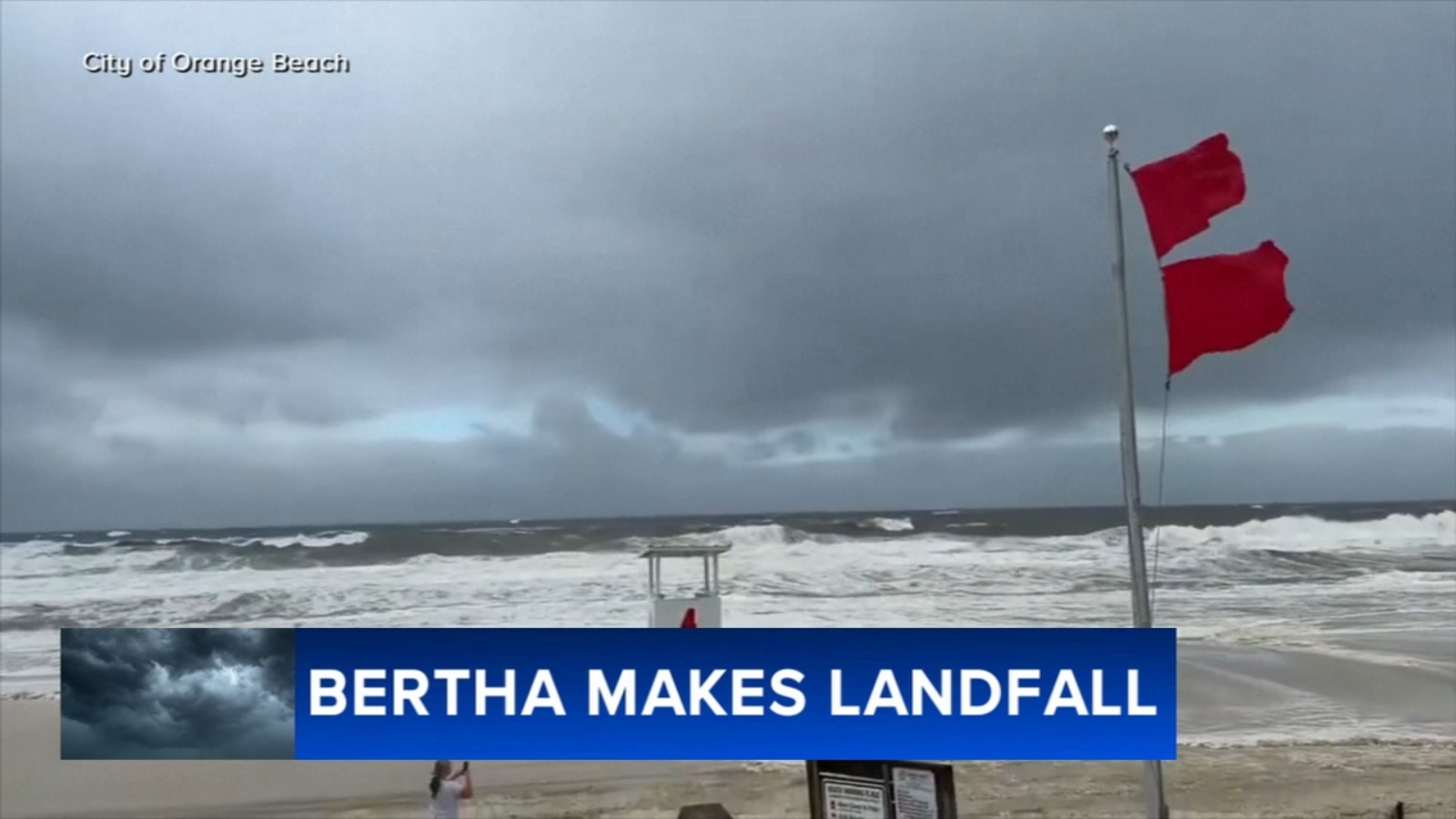

Tropical Storm Bertha came ashore in Louisiana and was positioned southwest of New Orleans early Thursday as it tracked west toward Texas, after prompting beach closures along the Gulf Coast from the Florida Panhandle to Mississippi.
Bertha made landfall Wednesday afternoon in St. Bernard Parish, roughly 40 miles (65 kilometers) east of New Orleans. Forecasters expected the system to reach the upper Texas coast on Thursday, then weaken and dissipate inland over Texas by Friday.
As of early Thursday, the storm was centered about 110 miles (175 kilometers) southwest of New Orleans and around 120 miles (190 kilometers) southeast of Lake Charles, Louisiana, according to the National Hurricane Center. Bertha was moving west at 12 mph (19 kph) with maximum sustained winds near 45 mph (75 kph).
Wind and storm surge remained the primary concerns across parts of the Deep South. Parks, piers and some low-lying roads were shut down along the coast, while a tropical storm warning extended from Alabama to Louisiana, including New Orleans, where extreme heat added to the difficult conditions.
At the Lake Pontchartrain estuary, bystanders gathered to watch the rising surge as Bertha neared the Louisiana coast. Children splashed in floodwaters, and some residents continued mowing their lawns even as water began covering streets.
The hurricane center said tropical-storm-force winds extended up to 160 miles (260 kilometers) from Bertha’s center. A 44 mph (71 kph) gust was reported Wednesday afternoon at New Orleans Lakefront Airport. Farther east, strong winds knocked a Waffle House sign onto a car in Panama City Beach, Florida.
The center said the heaviest rainfall remained offshore, helping lower the threat of significant flooding.
Louisiana State Climatologist Jay Grymes said Bertha was not expected to cause widespread damage, and that coastal communities should be able to manage the storm’s impacts.
Gov. Jeff Landry called the forecast “encouraging” but also warned residents to be prepared for some flooding.
Storm surges up to 3 feet (1 meter) were possible in Louisiana and Alabama, forecasters said. Rain totals were forecast between 1 and 4 inches (3 to 10 centimeters), with higher amounts possible in isolated areas.
Elsewhere in the U.S., a line of storms on Tuesday generated reports of tornadoes stretching from Cincinnati to New Jersey. Torrential rains caused flash floods that swamped homes, washed out bridges and led to water rescues in West Virginia, authorities said.
Southern Louisiana was under tropical storm and extreme heat warnings for much of Wednesday – a rare double dose of suffering, the National Weather Service said.
It was the first time in at least two decades that’s happened in the area, the weather service said, citing records that date back to 2005.
Bertha is the second tropical storm of the Atlantic hurricane season. Tropical Storm Arthur in June brought heavy rainfall to the southeastern U.S.
Bertha could dump heavy rain on coastal areas of Mississippi that are still recovering from flooding brought by Arthur that destroyed and damaged homes.
In the eastern Pacific Ocean, Hurricane Fausto churned far from land Wednesday. The hurricane was hundreds of miles west-southwest of the southern tip of Baja California with maximum sustained winds of 80 mph (130 kph).
It was forecast to gradually strengthen and the hurricane center said that ocean swells generated by Fausto were spreading along the Baja California coast and likely to cause life-threatening surf and rip tides.
___
Associated Press journalists Julie Walker in New York, Kim Chandler in Montgomery, Alabama, and Jaimie Ding in Los Angeles contributed to this report.
Copyright © 2026 by The Associated Press. All Rights Reserved.